

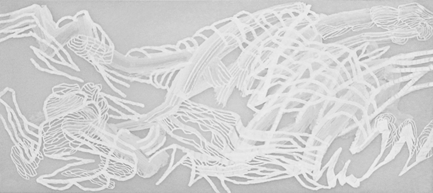
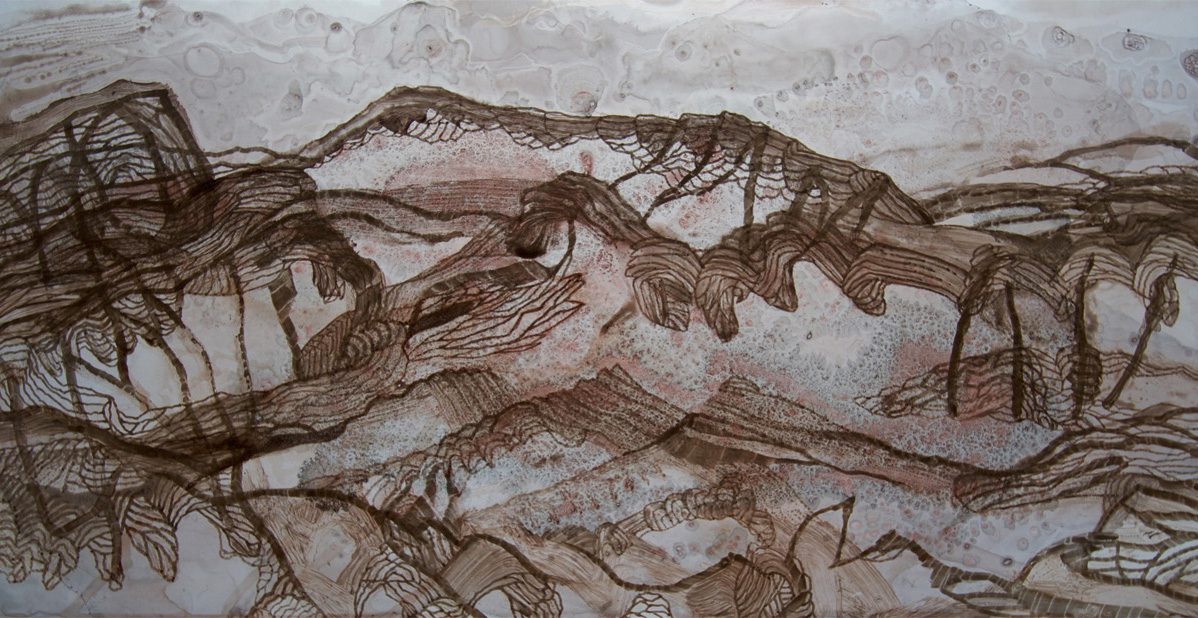
My current art practice is the result of many years spent camping, walking and drawing in central Australia. Walking is pivotal to my experience of the country. As I walk my daily treks, the land takes shape like a map. I also study satellite images of the area before and during my time on location.
The work in this exhibition is site specific to the East MacDonnell Ranges, a couple of hours from Alice Springs. It’s the product of a two-week camp at Ross River in August followed by a couple of weeks in the studio.
The smaller works were started on camp and finished in the studio. The four-metre long work was made after the trip using a satellite image of the terrain as a template.
The works are resolved through a visual language that has been built up over years of drawing and observing the country.
The contours of the landscape are a focus in these works; I am mainly concerned with the line and light of the place. Everything starts with the line.
Photography by Wayne Talbot.
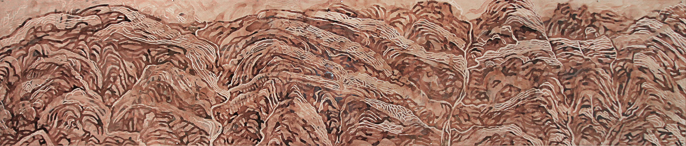
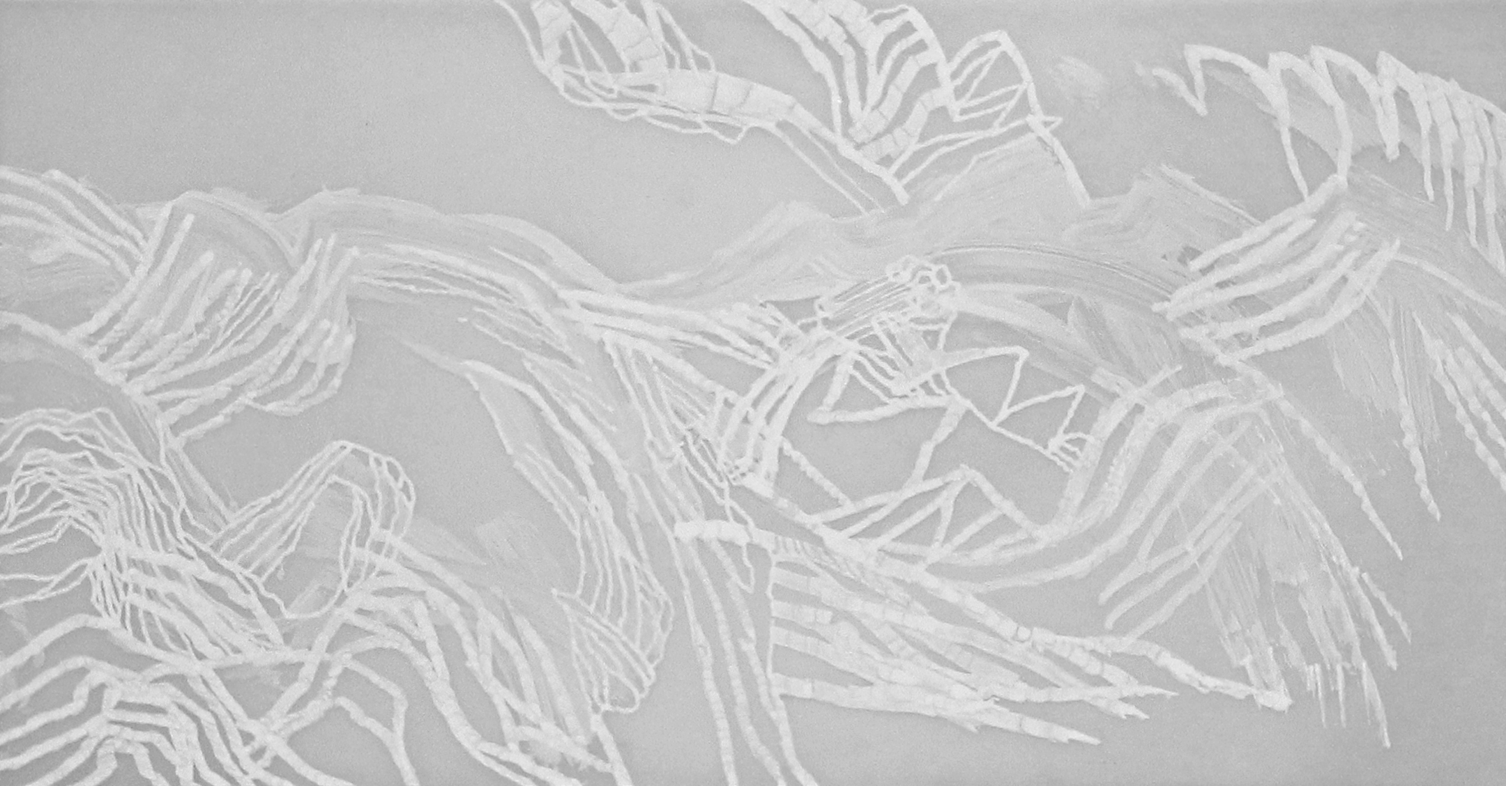
Mapping Location: Ross River, Central Australia 2016
Ink, gesso and Posca pen on drafting film
86 x 406cm
$3200
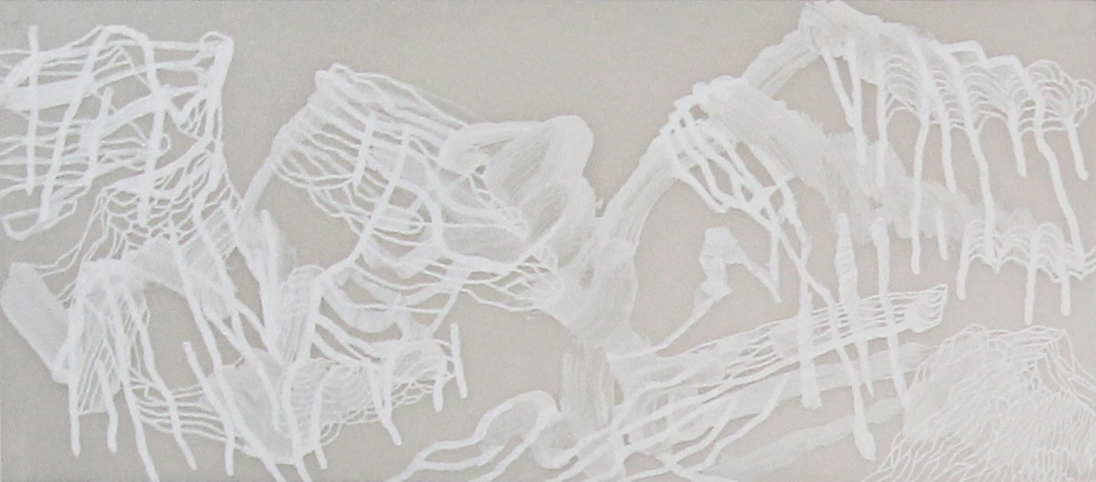
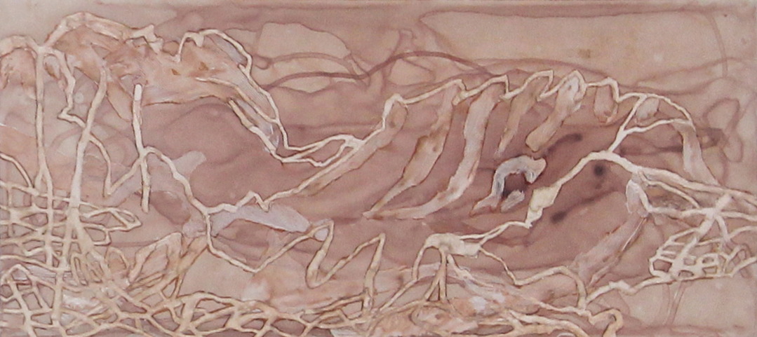
Mapping Location 1 2016
Ink, gesso and Posca pen on drafting film
31 x 70cm
$300
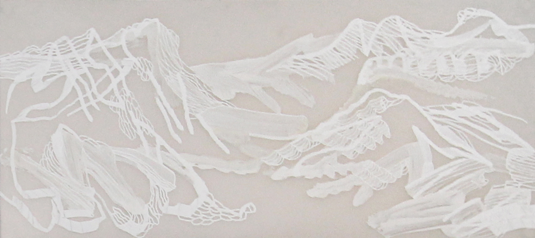
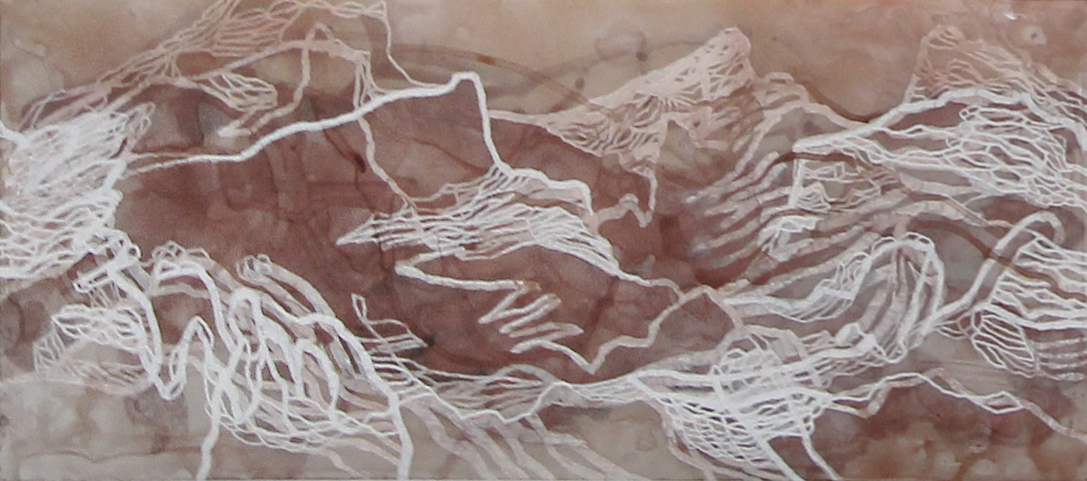
Mapping Location 2 2016
Ink, gesso and Posca pen on drafting film
31 x 70cm
$300
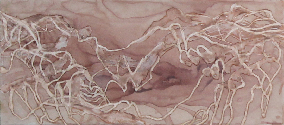
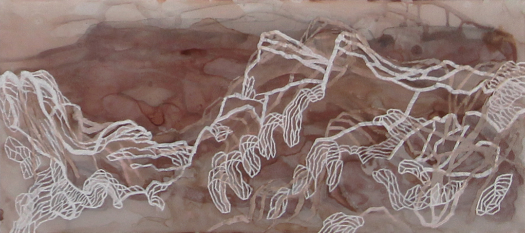
Mapping Location 3 2016
Ink, gesso and Posca pen on drafting film
31 x 70cm
$300
Mapping Location 4 2016
Ink, gesso and Posca pen on drafting film
31 x 70cm
$300
Mapping Location 5 2016
Ink, gesso and Posca pen on drafting film
31 x 70cm
$300
Mapping Location 6 2016
Ink, gesso and Posca pen on drafting film
31 x 70cm
$300
Mapping Location 7 2016
Ink, gesso and Posca pen on drafting film
31 x 60cm
$300
 Sold
Sold
Mapping Location 8 2016
Ink, gesso and Posca pen on drafting film
31 x 70cm
$300 Sold
 Sold
Sold
Mapping Location 9 2016
Ink, gesso and Posca pen on drafting film
31 x 60cm
$300 Sold